New Interactive Maps Of Global Cropland
The U.S. Geological Survey (USGS) has released a worldwide map that details croplands in high resolution in an ongoing effort to monitor croplands and water use. The interactive maps are part of the Global Food Security-Support Analysis Data at 30 meters (GFSAD30), a NASA-funded project to provide high resolution global cropland data and their water use that contributes towards global food security in the 21st Century.
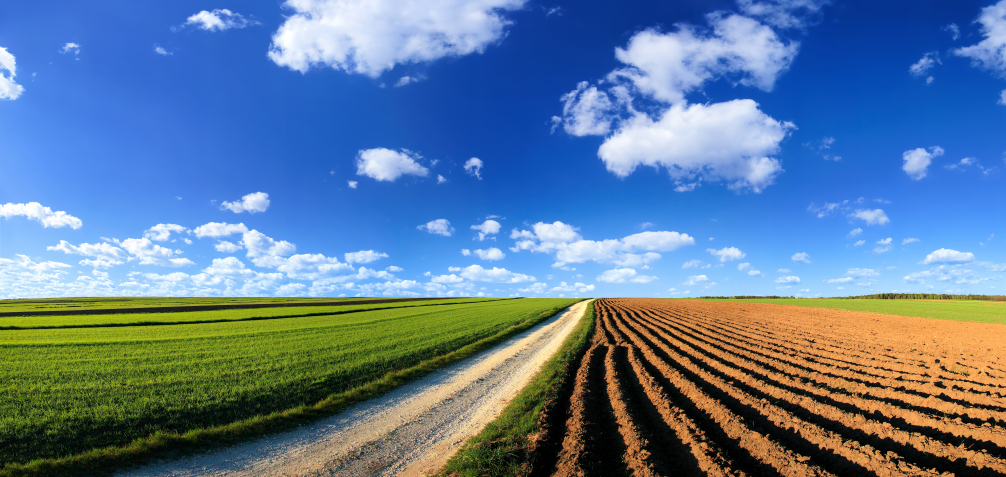
The map establishes that there are 1.87 billion hectares (4.62 billion acres) of croplands in the world, which is 15 to 20 percent or 700 to 900 million acres higher than former assessments. The change is due to more detailed understanding of large areas that were never mapped before or were inaccurately mapped as non-croplands.
The country with the highest net cropland area is India, with 9.6%, followed by the U.S. at 8.9%, China at 8.8%, and Russia with 8.3%. Together, the top four countries account for 35.6% of the worlds net cropland area. Statistics of every country in the world can be viewed in the interactive map.
The map is built primarily from Landsat satellite imagery with 30-meter resolution, which is the highest spatial resolution of any global agricultural dataset. The GFSAD30 products are derived through multi-sensor remote sensing data a(e.g., Landsat, MODIS, AVHRR), secondary data, and field-plot data and aims at documenting cropland dynamics from 1990 to 2017.
“The map clearly shows individual farm fields, big or small, at any location in the world,” said Prasad Thenkabail, USGS research geographer and Principal Investigator for the GFSAD30 Project Team. “Given the high resolution of 30 meters and 0.09 hectares per pixel, a big advantage is the ability to see croplands in any country and sub-national regions, including states, provinces, districts, counties and villages.”
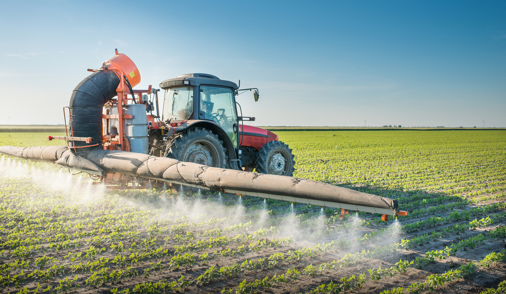
With the global population nearing the 7.6 billion mark and expected to reach 10 billion by 2050, the researchers say it is of increasing importance to understand and monitor the state of agriculture across the world in great detail. This new research is useful to international development organizations, farmers, decision makers, scientists and national security professionals.
“This map is a baseline and starting point for higher level assessments, such as identifying which crops are present and where, when they grow, their productivity, if lands are left fallow and whether the water source is irrigated or rain fed,” said Thenkabail.
“Comparisons can be made between the present and past years as well as between one farm and another. It is invaluable to know the precise location of croplands and their dynamics to lead to informed and productive farm management.”
Not only does this map and accompanying data have significant food security implications, but it is also critical as a baseline for assessing water security. Nearly 80 percent of all human water use across the world goes towards producing food, and this research provides insight on crop per drop, which is an assessment of the amount of crops produced per unit of water.